
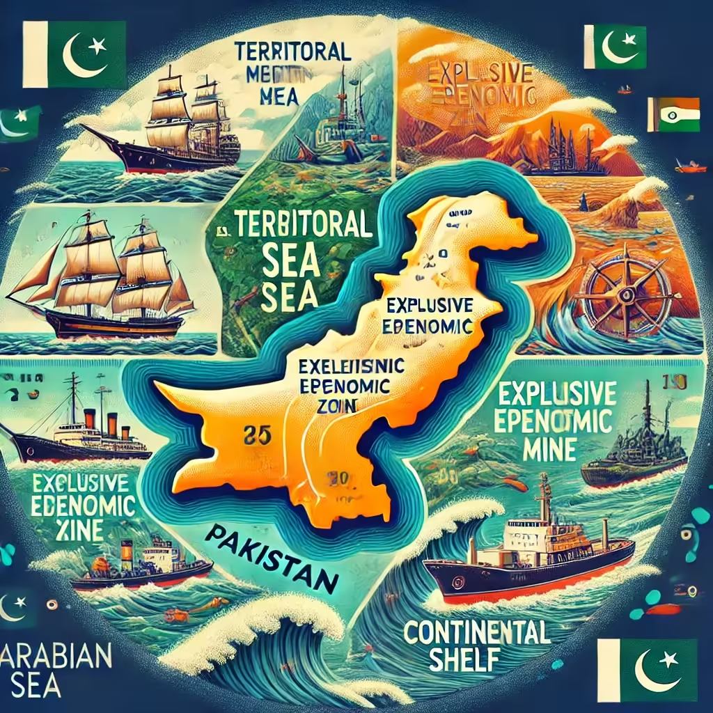
Pakistan’s Maritime Border Zones: A Quick Overview
Pakistan’s maritime border stretches into the Arabian Sea and is divided into key zones, each with specific rights and significance under international law, particularly the United Nations Convention on the Law of the Sea (UNCLOS). Here’s a concise breakdown:
1. Territorial Sea
- Extent: 12 nautical miles (22.2 km) from the baseline.
- Sovereignty: Pakistan has full control, including over airspace and seabed.
- Key Use: Ports, fishing, and defense.
2. Contiguous Zone
- Extent: 24 nautical miles (44.4 km) from the baseline.
- Jurisdiction: Laws on customs, immigration, and environment are enforced here.
- Purpose: Prevent illegal activities near territorial waters.
- 3. Exclusive Economic Zone (EEZ)
- Extent: 200 nautical miles (370.4 km).
- Rights: Exploration and use of natural resources in water, seabed, and subsoil.
- Importance: Fishing, oil, and gas exploration.
4. Continental Shelf
- Extent: Up to 350 nautical miles (648 km), based on geological factors.
- Rights: Exclusive access to seabed resources, including hydrocarbons.
- Milestone: Pakistan extended its claim in 2015, recognized by the UN.
Why These Zones Matter
- Economic Potential: Rich fisheries, oil, and gas reserves boost national growth.
- Strategic Role: Gwadar Port and the coastline are crucial for trade and CPEC.
- Security: The Pakistan Navy safeguards these waters against illegal activities.
With vast resources and strategic advantages, Pakistan’s maritime zones hold immense promise for economic and regional development. For current Maritime updates, you can visit PMSA’s PMSA’s website